During our last meeting, Carlos suggested to update the GUI of the exercise and in particular the MapWidget. The problem is that currently user can select any point on map to mark as a destination for a robot. However, it would be better if marker can be approximated to the palette on warehouse or select any point on special regions like charging and pick-up regions.
I have created a separate yaml file which holds all the locations of palletes that are in the “gray” region, which is then traversed by a separate method, which then approximates selected point to the center of the closest pallete. This should help robot to make a better positioning under palette before pick up. Additionally, separate zones for chargin and pick-up were left for free destination selection.
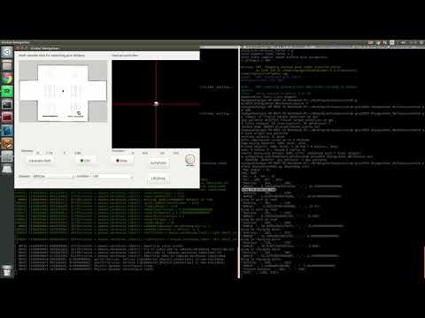
All work was done on gui_pallette branch and was successfully merged. The implementation of this task can be seen in a video below:
Solution progress
I am still stuck with configuration of the AMCL node for a robot. I have created a question in ROS Answers, and hope that someone can help me to work this problem out.